Site Visit
- Nazlı Doğa Erdoğan
- 6 Şub
- 2 dakikada okunur

Site visits are generally one of the most talked about, most anticipated, and most exciting things in first-year school. Naturally, I saw it that way too. We gathered our maps, sketch paper, pencils, and cameras and set off. We already knew we would be visiting the dam and naturally formed caves in the Sille region of Konya, but we hadn't anticipated that this trip would coincide with the coldest day of the year. It was so cold that my phone decided to shut down, leaving me stranded.
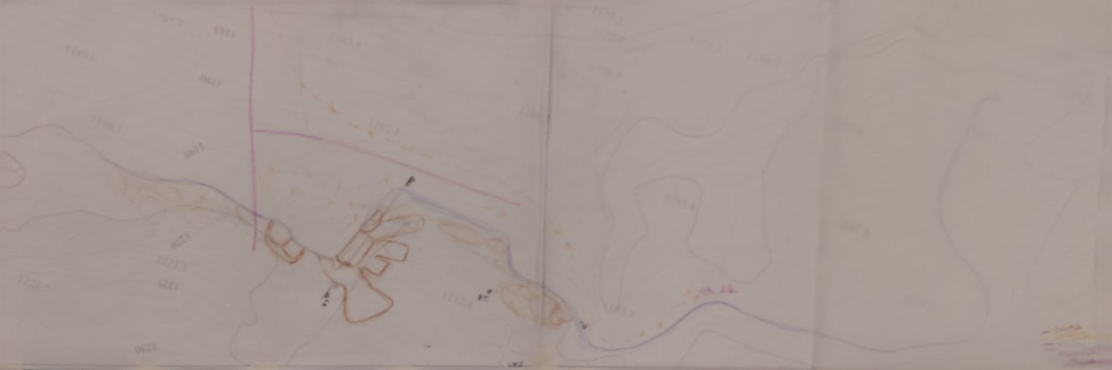
First, we went to the dam. The dam had a huge and beautiful area. One of my first experiences was actually how quickly we progressed on the map. Because without a certain reference point, it was very difficult to understand where we were. I recorded my entire trip using some places on the map as references. We drew approximate cross-sections in the places we visited. We saw the difference in understanding between seeing and experiencing the slope of a terrain. We noted the animals and trees in the surroundings. We thought about which experiences we enjoyed, what was beautiful, or what could have been better. But of course, doing all this in the cold and snow was quite a difficult experience.


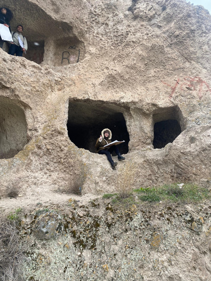
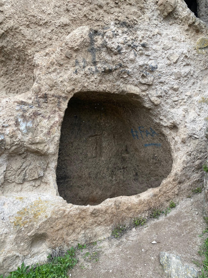
We then left there and went to Sille village. After warming up a bit, we first climbed to the area with the natural caves. From there, almost the entire village was visible. We examined the caves. We noted which ones were accessible and which were inaccessible. We drew cross-sections. After the caves, we toured the village. We visited the wooden primary school in the village. Then we saw the church. While doing all this, we mapped the textures around us, the physical and visual boundaries, our references, and the places we visited.


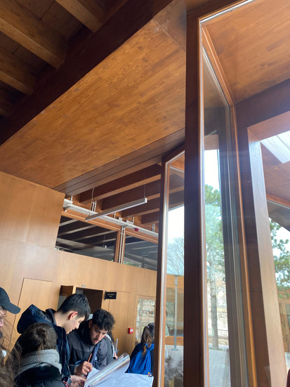


In short, we transferred all our experiences onto maps, and this experience was incredible. When I describe it like this, it sounds like doing all the work at once was very tiring and difficult; because that's what I initially thought when I heard we had to do these things. But honestly, it was incredibly enjoyable. Observing the environment, experiencing it, and knowing that the design would be formed around these experiences was very pleasant.


After this exciting and intense trip, it was necessary to gather these experiences and make them usable. For this, we created a texture library, booklets containing cross-sections of some places, and experience maps. All of this was both enjoyable and educational. After using these, I know better what to pay attention to on my next field trip, and of course, that I shouldn't just take my phone with me.


Yorumlar